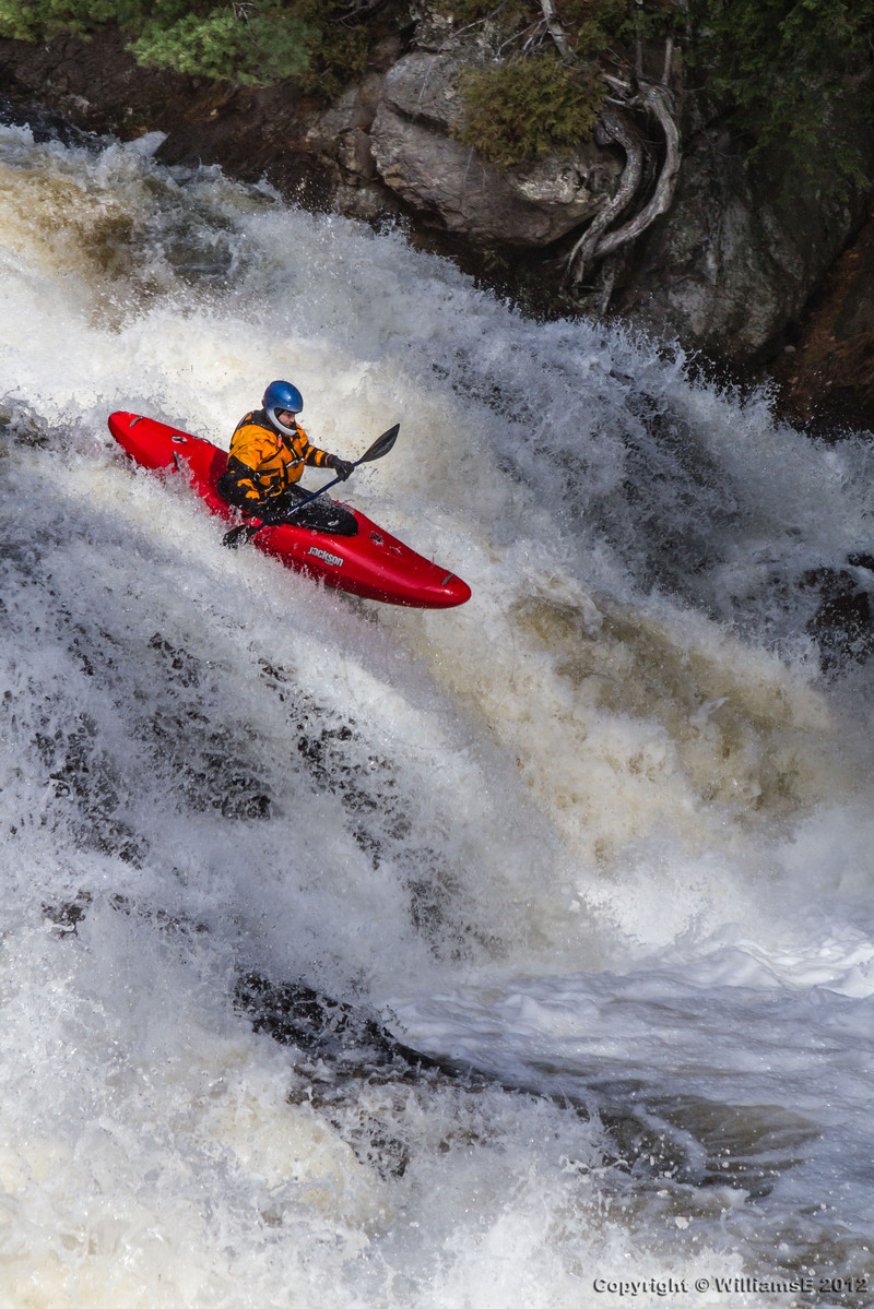
Moose
3. Bottom: Fowlersville to Lyons Falls
| Difficulty | V |
| Length | 4 mi |
| Avg Gradient | 72 fpm |
| Gauge | Moose River at Mckeever Ny |
| Flow Rate as of 35 minutes | 1.75 ftbelow recommended |
| Reach Info Last Updated | July 13, 2026 |
Once Great Rivers Await Restoration The mighty rivers of the Adirondack Region have been dammed and dewatered for more than a century. Once vibrant and free flowing, dams have damaged the natural river ecosystems of the region, home to diverse aquatic and terrestrial life. The Adirondack Region is renowned [...]Read More
2026 Release Dates:
Spring: April 19, 26 May 3, 9-10, 17, 23-24, 30-31 June 7, 13
Fall: September 4 (in conjunction with Beaverfest), October 4, 10-11, 15-17, 24
Paddlers MUST sign in at the power station office to access the river during releases.
Overview:
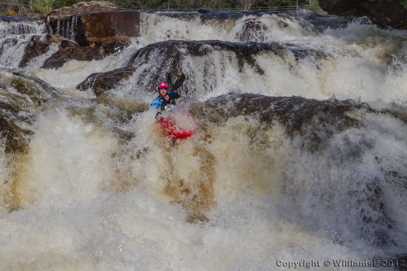
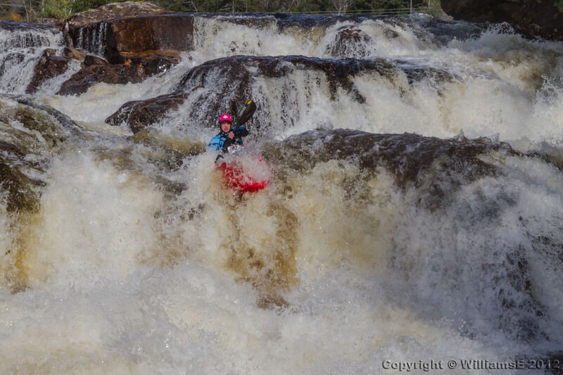
The Bottom Moose River is quintessential New York pool-drop, with large drops separated by stretches of flatwater or mellow rapids. It is possible to scout and portage almost every rapid, and, at most flows, each rapid often has multiple lines with varying degrees of difficulty. Additionally, the Bottom is navigable at a wide range of flows and features multiple access points between the usual put-in and takeout.
Though commonly considered to be Class V due to the powerful hydraulics and sheer size of each rapid, the Bottom Moose is approachable to any Class IV paddler accompanied by a more advanced group and willing to portage a bit if the flow is under about 3.6 ft.
The final caveat to an otherwise 5-star rating in quality is the hydropower dam located about halfway through the run below Double Drop, which effectively divides the run between the 'Top 4' (Fowlersville Falls through Double Drop, navigable nearly year round on natural flow) and the colloquial 'Bottom Bottom' (Agers Falls through Crystal, navigable only during releases or specific water levels when the dam cannot operate). These releases occur on weekends from late April through May and in October. To ensure continued recreational releases, it is critical that all river users sign-in at the power station office between the take out and Agers Falls before accessing the river. On release days a sign reading 'Whitewater recreation sign-in' is placed by the side of the road at the entrance to the office.
A note on extended flow ranges:
Many people consider 3.3 ft on the McKeever gauge to be an ideal fl
...
Putin river left, upstream of Fowlersville Falls. You can run one rapid just a hundred yards above the road, if you wish or put in at the bridge and start your day off with a Fowlersville Fling.
For those looking for a bigger challenge find the ramp hidden in the woods. Be sure not to land too flat and don't try it under 3ft!
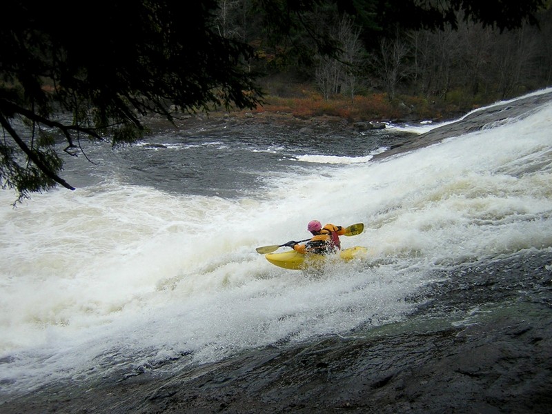
Starts with a bang!
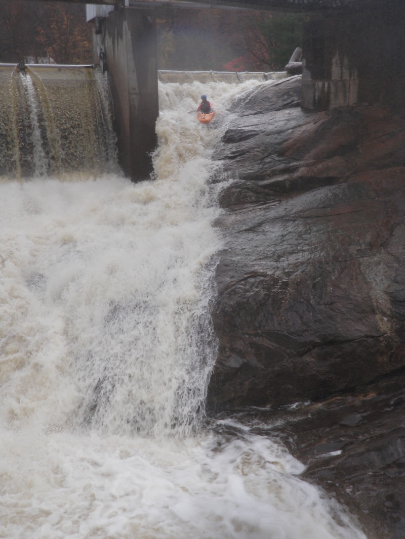
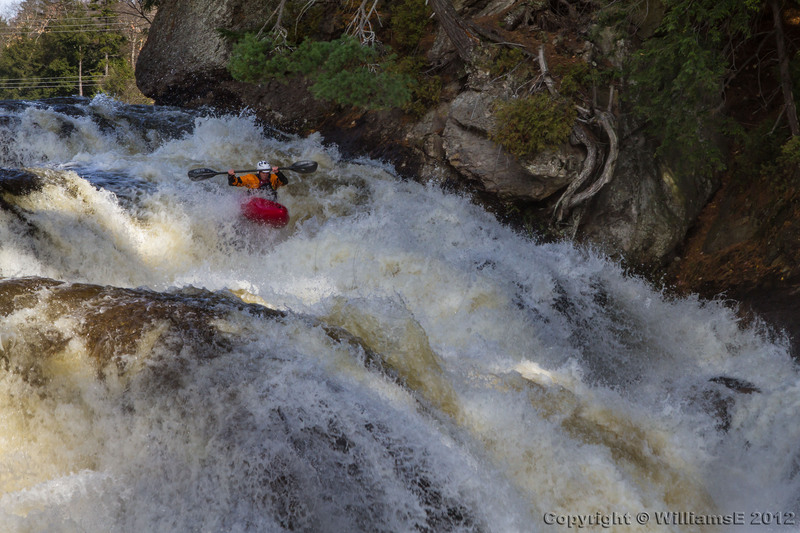
This photogenic baby is a huuuge slide, with a terminal hole in the middle. The hole is easy enough to avoid; at normal levels, everyone runs this on the left--and then maybe they climb up and run it again, because nobody got them on video the first time.
At 3ft or below the center and right lines open up.
Technical, with a diamond-splitter rock at the bottom. The rock becomes exposed at levels below about 3 feet. It's best to bang through a hole toward the right and ride the channel to the right of the diamond-splitter. It is easy to scout or portage from river right.
There's an optional boof for those who want to provide carnage for their video-wielding buds. Boof is best at and below 3ft.
It's important to note there is usually ample parking at the dam below Double Drop, allowing paddlers to abbreviate their Bottom Moose experience for any given reason. This is the takeout when the 'Bottom Bottom' is not releasing and the preferred option for those just dipping their toes in to the Class V experience.
Scout early from the river-right sloping rock face.
The standard line here is the S-curve: ride a very narrow shelf on far river-right, then to drop off the shelf and snake your way between two large boulders. The middle route, just left of the first boulder, is dangerous at low water, as there's a nasty pothole which caused a fatality in 1987. Finally, for the adventuresome, there's a niche boof way river right. Better not drop off the shelf early, as you'll be in a world of hurt in the rocky channel down there. If you don't like the look of the rapid, there's a sneak to the river left of the whole thing.
Difficulty ranges from III-V+ depending on flow and line.
Double Drop can be scouted or portaged from river right, but the left-left sneak is usually approachable enough that a portage isn't necessary. The most popular line begins on the right, funnels through a chute into a big hole, and ends with a boof on the right.
There is a hazardous crack in the center of the river in the second drop. Make sure to run left or right to avoid a flat-pin hazard.
Get out and walk around the dam. This is also the takeout if you're running the 'Bottom' or 'Top 4,' which paddlers often do when there's enough water to run the first four rapids but no scheduled release--and therefore not enough water to run the 'Bottom Bottom.'
At exceptionally high flows, spillover makes this dam a runnable rapid, though a significant pothole and undercut, both directly in the main line, are significant hazards.
Be careful, especially in winter. This might be the most dangerous thing you do all day.
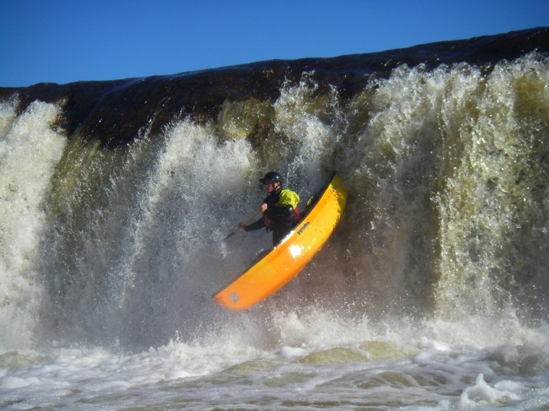
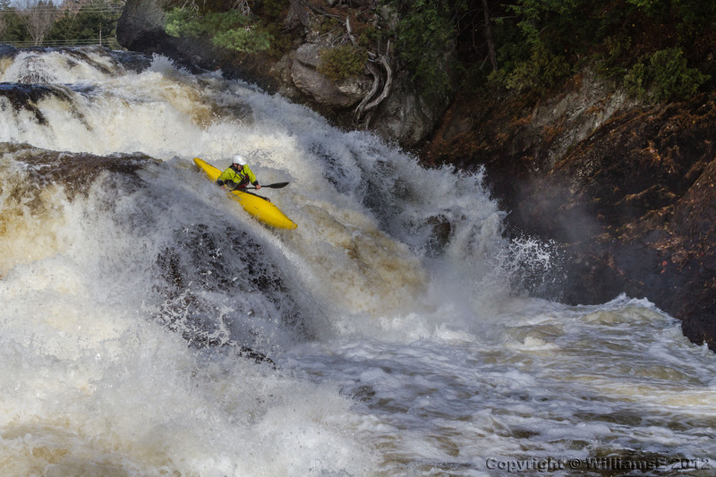
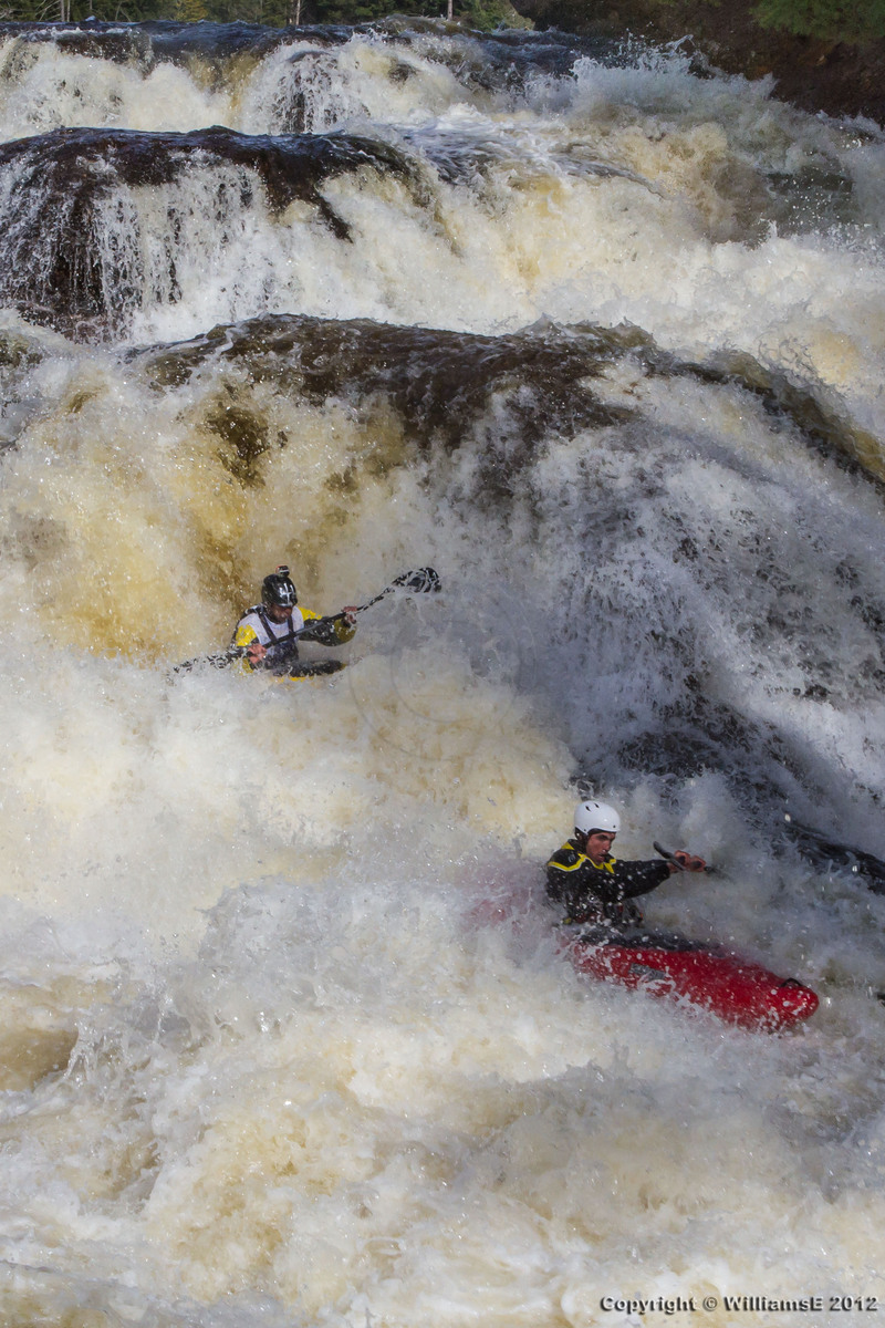
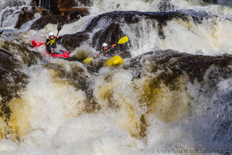
One of the easier 18-footers around. There is some minor complexity to the runout, but this waterfall can be run just about everywhere. That's why there are so many photos of people running it two and three at a time. The extreme far left of the falls (which features the highest volume) is home to a hazardous undercut.
Shurform can be easily scouted from the right, and portaged with some difficulty. Takeout early to scout to avoid getting stuck in a shallow last chance eddy.
Right Channel: Steep, long, shallow, and technical. If you mess up the approach, you get up close and personal with a rocky mess in the middle. The approach is most easily run by punching a small but deceptively squirrelly wave and getting left. Stay high and to the left before dropping down at the very end. Another option is to run just right of the rooster tail.
Left Channel: Oh, yes: if you go left of the island, then it's really technical, with an undercut rock and a piton at the bottom. Rate that line a 5.1. Come into the bottom facing 45* right and charging along the diagonal right, or stay left and try to ride over the piton just outside the under-cut.
Powerline is easily scouted on river left. It can be portaged with some difficulty as well.
It has been described as the nicest, easiest rapid that draws the most blood on the river. Read and run down the center working right if you aren't comfortable. Otherwise the eddy moves are a lot of fun (until you miss one that is) Careful of the pourover rock at the bottom. A pile of boulders after the main pourover has dished out more than a few concussions to the upside down paddler.
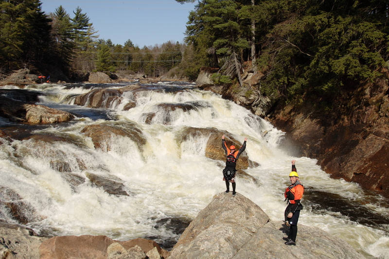
Whoa, Momma! This is one of the most visually impressive rapids in the East. From a rock at the bottom of the rapid, you can see it snake around for a quarter mile. It begins with a horseshoe hole which can mess with you, your boat, and your plans for the future. Typical, at normal levels, is to boof it left.
Then, deal with the squirrely water to line up for the final drop, a fifteen-footer with a spanky hole at the bottom. At low water (less than 2.5), it's really important to avoid penciling in on the right--the rock is exposed and ankle-breaking. At higher water (3.0+), it's harder to make the right-to-left move for the final Falls--but the middle line opens up, so you can bump'n'grind down that if need be.
Whoa, Momma!, this is a fun one!
Another low water option is to start on the eddy on river right above the horseshoes, ferry left into the pothole eddy between the horseshoes, then drop down.
Takeout on River Right, either before Magilla or after.
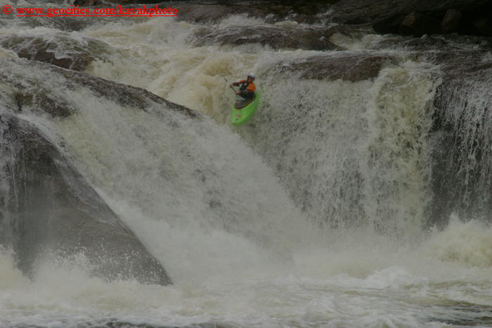
This one's optional; many paddlers take out before it, and it may not have any water even when the rest of the Moose is running. (It's dependent on yet another dam release.)
It kinda looks like Gorilla on the Green, but it's not as big a drop and the approach isn't so nasty. Nonetheless, don't drop your guard on the approach, either. It's not quite trivial.
You can also run the middle channel off Magilla--just right of the normal boof line. That's extremely tight; it's easy to bang your elbows on the rock walls on the way down.
Matilda is another spout off the shelf. Enter a few feet right off the dam wall on the left. The landing isn't bad at higher flows, but brutal at low water (locals walk the dam and run the drop). The water constricts into a slotted channel and quickly snakes around to the lip. Take a few strokes left to try to get centered as you roll off the top of the lip.
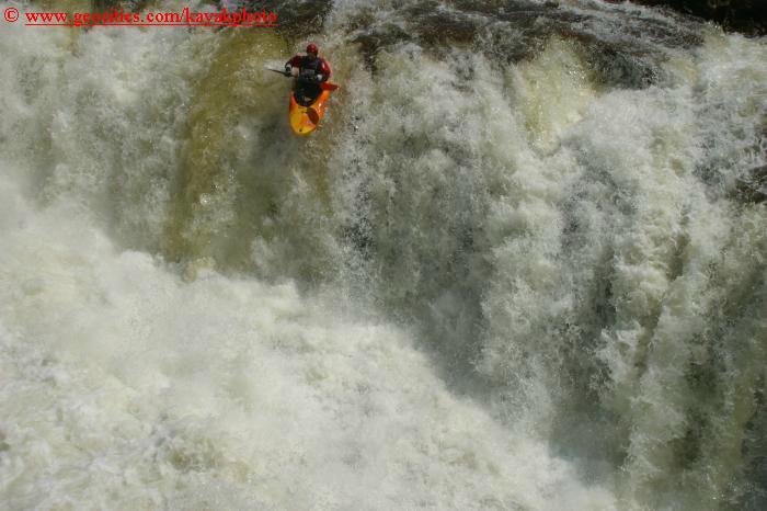
Below the next dam pond is a dam on the right under a green bridge. This is the top of Spine Compressor, a seldom run drop that requires either very high flows, or heavily damaged splash boards. Go center on the dam and continue down a small wave train towards the lip. Be sure to hit the crease where there is the most flow right of center. A strong boof stomped at the last moment is the only way to have a soft landing. At most there is 2ft of fast moving water down there. The hole after the drop is no joke, be ready for a huge hit. Once you recover another drop is around the bend before you get to a camp site on the right.
Jun 24, 2016
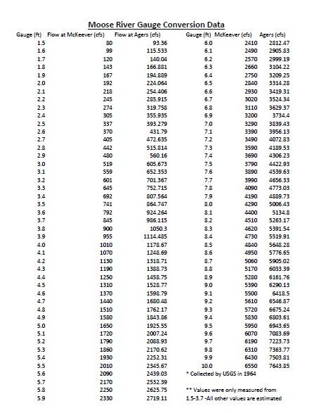
This spreadsheet was transcribed from the USGS survey in March of 1964. Actual measurements were only made for the ranges from 1.5-3.7. Above 3.7 values were calculated (estimated).
May 24, 2016
from FB 5.24.2016
Mike Webster Yes. Except for Moose Fest in October, releases increase the flow over Agers and down. Generally a Moose release can not effect the river above Agers. General?
Like · Reply · 1 · 22 hrs · Edited
Eric Adsit
Eric Adsit Between 2.2 (ish) and 5.5 feet on the McKeever gauge, if the dam is online and no release is scheduled, there will be no water from the Portage dam down. Below 2.5 and above 5.5, some water is allowed to pass through into the Bottom Bottom, but if it's below 2.4 it's not really worth doing.The Top 4 run with natural flow all the time, but as Mike said, during October Moosefest they get a bump up from the draw down of the Fulton Chain of lakes.
Unlike · Reply · 3 · 22 hrs
Jeremy Poulin
Jeremy Poulin That being said,there is a release this coming weekend
Like · Reply · 22 hrs
Sam Bernstein
Sam Bernstein The dam occasionally goes offline as well in which case the section just becomes undamned essentially I believe. Happened last fall for several weeks.
Like · Reply · 20 hrs
Chris Koll
Chris Koll A Bottom Moose release simply means that some or all of the water in the river is allowed to spill over the dam at Agers. During a typical release, they'll spill around 600 CFS (which is about 3'). Obviously, if the river is under 3'--the spill is less. When the river is higher--say around 4'--they'll continue to divert some water which keeps the Bottom four more manageable.
Unlike · Reply · 1 · 19 hrs